Jump to content


Photo

Can't manipulate terrain.


  • Please log in to reply
15 replies to this topic

#1 clubcaptain

clubcaptain

    Advanced Member

  • Members
  • PipPipPip
  • 1,310 posts

Posted 17 March 2019 - 02:28 PM

Been developing Fairmont Algonquin from the lidar and height map link here http://www.perfectpa...ps/#entry161422

Most of the work is done but I've hit a problem. Here's a SS from CF of the coastline and you can see that there is a large dark oblong area next to the ocean. and it's height is set at zero. When playing the course you can see this area rising and falling with the movement of the ocean. Obviously I want to get rid of this dark area.

coastline.jpg

Here's a video that shows that when I raise the ocean level the dark area isn't covered. I then go into terrain adjustment but I can't lower the dark area so that the ocean covers it up. 

https://youtu.be/yGmNNo3YR7w

Haaving put in a lot of hours I need some help please if someone would be so kind.


PC specs...

Intel core I7 9700k 3.6 GHZ-Turbo 4.9 GHZ
64 GB Corsair vengeance  LPX DDR4 2400 MHZ
Asus PRIME Z390-P 
Nvidea GeForce RTX 2060 6GB
X box 360 wired controller
Windows 10 PRO NA 64 bit


#2 NoPutt

NoPutt

    Advanced Member

  • Members
  • PipPipPip
  • 2,902 posts
  • LocationSouth Carolina

Posted 17 March 2019 - 03:07 PM

Check your Hierarchy for another Terrain. The terrain you're trying to change in the video

is not selected, click on it first. 


Dry Gulch...................Released                     Smithfield Golf Club...........Released

Millstone Golf Club....Released                      The Walker Course............Released

Kingsmill Woods Course...Released               Pine Lake Golf Club..........Released

Woodhaven Golf Club (9) Released                The Reserve at Keowee...Released

Cliffs at Keowee Vineyards..Released              The Ace Club...................Released

Dry Gulch 2..........Released                               Blackberry Oaks.............Released


#3 highfade

highfade

    Advanced Member

  • Members
  • PipPipPip
  • 1,749 posts
  • LocationSouth Africa

Posted 17 March 2019 - 04:54 PM

There is a way but I'm not at my PC now. You have to tweak the terrain with Shimonko Tools but be careful and backup 1st

Intel Core i5-6600 CPU 3.3 GHz       Geforce GTX 1060        16GB  RAM       Windows 10 64 bit

Hazyview  (600m above sea level)    --   Nautilus Bay  (Revamp done)  --  Cape Fear  (TGC  adaptation)  --  Aloe Ridge  --  Nahoon Reef GC  --  Chambers Bay 

Abel's Crossing  --  Solitude Links GC


#4 jspirate

jspirate

    Advanced Member

  • Members
  • PipPipPip
  • 487 posts

Posted 18 March 2019 - 10:31 AM

There is a way but I'm not at my PC now. You have to tweak the terrain with Shimonko Tools but be careful and backup 1st


As highfade said... Back-up first!

Also realize that when you change your terrain height any hand placed pre-fabs and such will remain at the original height.  The shimonko tool works, but it creates lots of other stuff to fix. 


I was glad I had backed up, because my first attempt didn't go well.  I am not sure what I did, but I borked it somehow...


i7-8700K
GIGABYTE Z390 AORUS Pro
64 GB DDR4 3200
MSI GeForce GTX 1080 Ti Gaming X
LG 32GK850G
Win 10 Home Premium on 1TB SSD


Courses:

Bradford Links - released

Ironwood - released

Cypress Landing - released (also available in a 3DG version)

Crow's Nest - released


#5 clubcaptain

clubcaptain

    Advanced Member

  • Members
  • PipPipPip
  • 1,310 posts

Posted 18 March 2019 - 12:23 PM

It looks like Sandpiper has the same problem.


PC specs...

Intel core I7 9700k 3.6 GHZ-Turbo 4.9 GHZ
64 GB Corsair vengeance  LPX DDR4 2400 MHZ
Asus PRIME Z390-P 
Nvidea GeForce RTX 2060 6GB
X box 360 wired controller
Windows 10 PRO NA 64 bit


#6 highfade

highfade

    Advanced Member

  • Members
  • PipPipPip
  • 1,749 posts
  • LocationSouth Africa

Posted 18 March 2019 - 01:06 PM

You should use "Movetheground" tool but just check the post from Larry as you might need to change something in the script.


http://www.perfectpa...ools#entry67007


Intel Core i5-6600 CPU 3.3 GHz       Geforce GTX 1060        16GB  RAM       Windows 10 64 bit

Hazyview  (600m above sea level)    --   Nautilus Bay  (Revamp done)  --  Cape Fear  (TGC  adaptation)  --  Aloe Ridge  --  Nahoon Reef GC  --  Chambers Bay 

Abel's Crossing  --  Solitude Links GC


#7 clubcaptain

clubcaptain

    Advanced Member

  • Members
  • PipPipPip
  • 1,310 posts

Posted 18 March 2019 - 02:25 PM

Does it mean that having raised the whole terrain including the dark green rectangle I will then be able to lower the dark green area to allow the ocean to flow over it and hide it.


PC specs...

Intel core I7 9700k 3.6 GHZ-Turbo 4.9 GHZ
64 GB Corsair vengeance  LPX DDR4 2400 MHZ
Asus PRIME Z390-P 
Nvidea GeForce RTX 2060 6GB
X box 360 wired controller
Windows 10 PRO NA 64 bit


#8 highfade

highfade

    Advanced Member

  • Members
  • PipPipPip
  • 1,749 posts
  • LocationSouth Africa

Posted 18 March 2019 - 02:52 PM

Does it mean that having raised the whole terrain including the dark green rectangle I will then be able to lower the dark green area to allow the ocean to flow over it and hide it.


Exactly, you should use "movetheground" tool. You can then move your terrain up like 10 or 20 meters and you can then lower the sea area.


Intel Core i5-6600 CPU 3.3 GHz       Geforce GTX 1060        16GB  RAM       Windows 10 64 bit

Hazyview  (600m above sea level)    --   Nautilus Bay  (Revamp done)  --  Cape Fear  (TGC  adaptation)  --  Aloe Ridge  --  Nahoon Reef GC  --  Chambers Bay 

Abel's Crossing  --  Solitude Links GC


#9 Justin9926

Justin9926

    Advanced Member

  • Members
  • PipPipPip
  • 760 posts

Posted 18 March 2019 - 04:44 PM

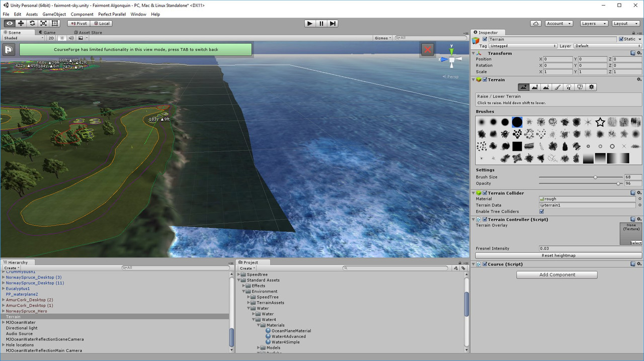
Couple of questions for you, on Sandpiper you're saying you cannot raise or lower terrain at all anywhere on the height map? Because I have no problems raising and lowering it. But if you're out in the ocean you can only lower it to 0 and some of the spots are already at .2. So yes you can only drop the terrain in those spots by .2. So if you want to drop the ocean terrain by 4 m or so then yes you need to raise the whole terrain. But if you can't raise the terrain you have other problems.


I still think NoPutt Is correct in it looks like there is a second terrain. Have you searched in your hierarchy for terrain, to see if there's two of them? The reason I say that is when you raise your Ocean you can see it's covering up terrain but that Square area looks like there's Another terrain floating above it. Also if you go up next to the fairway can you raise and lower it up there?


If you can't raise or lower the terrain anywhere in your project maybe try this. When I did a search on Google for that same problem not being able to raise or lower the terrain at all in unity this is what I found. They said by going back to the default layout in unity seem to have fixed the problem. So on your project if you can't raise or lower the train anywhere on the course may be tried putting your layout back to the default and see what happens.


Asus ROG G751JT-CH71 Gaming Laptop

2.5 GHz Intel Core i7– 4710HQ

Nvidia GTX 970M 3GB GDDR5

16 GB DDR3

Windows 10 64-bit


#10 clubcaptain

clubcaptain

    Advanced Member

  • Members
  • PipPipPip
  • 1,310 posts

Posted 18 March 2019 - 05:58 PM

Yres, I did search the hierarchy on Fairmont.and it returns :-

Terrain

MJOceanwater reflectionscene camera

MJOceanwater reflectionmain camera.

Both Fairmont was created from the lidar and heightmap taken from the page whose link I quoted above. Isn't the dark green area something that should have been omitted.

Another short video that shows the ocean plane being raised and the main terrain is flooded but the dark green area remains visible.

https://youtu.be/e70uS2y7gGE


PC specs...

Intel core I7 9700k 3.6 GHZ-Turbo 4.9 GHZ
64 GB Corsair vengeance  LPX DDR4 2400 MHZ
Asus PRIME Z390-P 
Nvidea GeForce RTX 2060 6GB
X box 360 wired controller
Windows 10 PRO NA 64 bit


#11 Justin9926

Justin9926

    Advanced Member

  • Members
  • PipPipPip
  • 760 posts

Posted 18 March 2019 - 08:00 PM

Well just for the heck of it I loaded it to see what it looks like. It loaded just fine for me. I'm not getting that piece of terrain showing like you are. But yes if you want to be able to dig down deeper in the ocean you'll need to use the tool to raise the whole Terrain


https://youtu.be/ND5bNOpKfag


Asus ROG G751JT-CH71 Gaming Laptop

2.5 GHz Intel Core i7– 4710HQ

Nvidia GTX 970M 3GB GDDR5

16 GB DDR3

Windows 10 64-bit


#12 clubcaptain

clubcaptain

    Advanced Member

  • Members
  • PipPipPip
  • 1,310 posts

Posted 18 March 2019 - 09:27 PM

Could you try that with fairmont which is what I'm working on.please?


PC specs...

Intel core I7 9700k 3.6 GHZ-Turbo 4.9 GHZ
64 GB Corsair vengeance  LPX DDR4 2400 MHZ
Asus PRIME Z390-P 
Nvidea GeForce RTX 2060 6GB
X box 360 wired controller
Windows 10 PRO NA 64 bit


#13 clubcaptain

clubcaptain

    Advanced Member

  • Members
  • PipPipPip
  • 1,310 posts

Posted 18 March 2019 - 11:00 PM

Used the move ground tool and raised by 2 meters. The dark green area was raised by the same amount so CF thinks it's part of the main terrain which is why I only have one terrain showing in the hierarchy. Despite that I tried to raise the water level again but same result. It will flood the course but the dark green area remains visible.


PC specs...

Intel core I7 9700k 3.6 GHZ-Turbo 4.9 GHZ
64 GB Corsair vengeance  LPX DDR4 2400 MHZ
Asus PRIME Z390-P 
Nvidea GeForce RTX 2060 6GB
X box 360 wired controller
Windows 10 PRO NA 64 bit


#14 Justin9926

Justin9926

    Advanced Member

  • Members
  • PipPipPip
  • 760 posts

Posted 18 March 2019 - 11:08 PM

Could you try that with fairmont which is what I'm working on.please?

That is Fairmont plus I believe it's the same exact hole you're showing


Asus ROG G751JT-CH71 Gaming Laptop

2.5 GHz Intel Core i7– 4710HQ

Nvidia GTX 970M 3GB GDDR5

16 GB DDR3

Windows 10 64-bit


#15 clubcaptain

clubcaptain

    Advanced Member

  • Members
  • PipPipPip
  • 1,310 posts

Posted 18 March 2019 - 11:09 PM

Interesting - I created a new project of fairmont under a new name and I added the ocean as the first step and it can be raised just fine to cover the dark green area. So why the difference ?


greenareacovered.jpg


PC specs...

Intel core I7 9700k 3.6 GHZ-Turbo 4.9 GHZ
64 GB Corsair vengeance  LPX DDR4 2400 MHZ
Asus PRIME Z390-P 
Nvidea GeForce RTX 2060 6GB
X box 360 wired controller
Windows 10 PRO NA 64 bit


#16 jt83

jt83

    Advanced Member

  • Members
  • PipPipPip
  • 1,023 posts

Posted 19 March 2019 - 12:33 AM

The reason I only use lidar-based maps is because the terrain (which seems to be what the other guys are saying your problem involves) doesn't need to be adjusted.  At some point you might smooth greens and bunkers and dig out lakes, but that's it.  The idea of a second terrain scares me, so I'm no help here.


0 user(s) are reading this topic

0 members, 0 guests, 0 anonymous users