


Not technically a CF query so if this needs moving - all well and good.
I'm dealing wtih some lidar taken close to the ocean, so that when it's imported into Global Mapper it looks like -
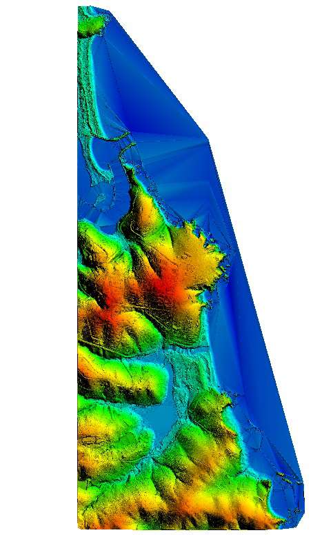
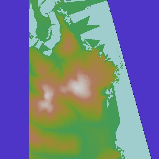
Looks OK. In Wilbur the .bt file appears as -
Purple bits are a bit funny, confirmed when the PNG surface appears as this in Photoshop -
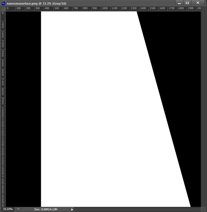
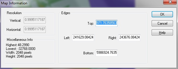
Obviously not suitable to finish the job. In Wilbur there's also a strange negative value in Map Info -
I've PMd Joe H but he's been inactive for a week. Would appreciate any ideas.


