-
Terrain Forge- Real World Heightmap and Imagery Generation Tools

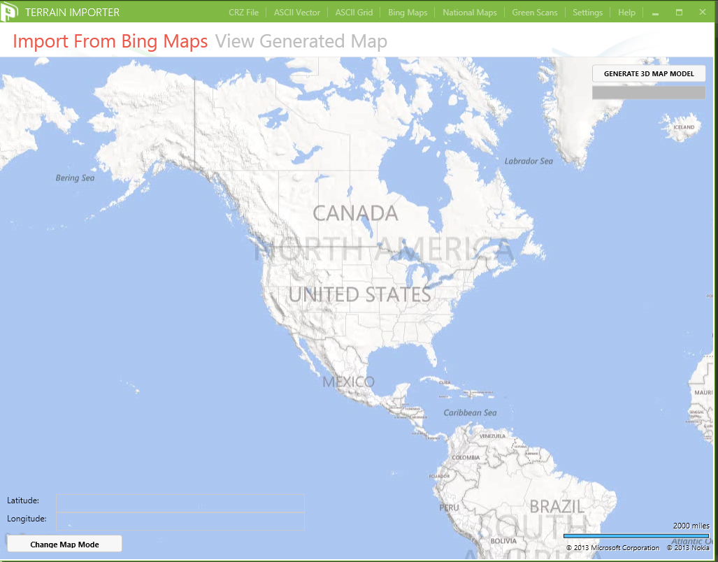
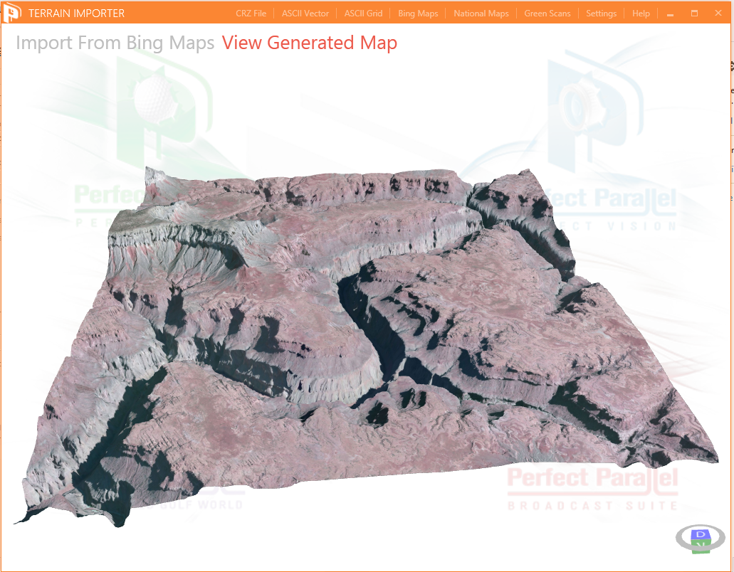
Terrain Forge is a tool that can generate heightmaps from terrain information using a variety of spatial data from around the world. The core importer enging can generate integrated heightmaps and overhead imagery from Bing Maps and National Map Viewer (images and elevation data that is georeferenced); and it also allows for the conversion of Microsoft Links CRZ files to heightmaps. This heighmap data can be imported into modern game and visualization technologies.
Terrain Forge currently supports creating heighmap files from:
- Microsoft Links CRZ Files
- ASCII Vector Files
- ASCII Grid Files
Terrain Forge supports creating properly geo-referenced terrain and overhead imagery from:
- National Map Viewer
- Bing Maps
A simple-to-use and easy-to-understand interface allows the designer to quickly visualize realistic locations.